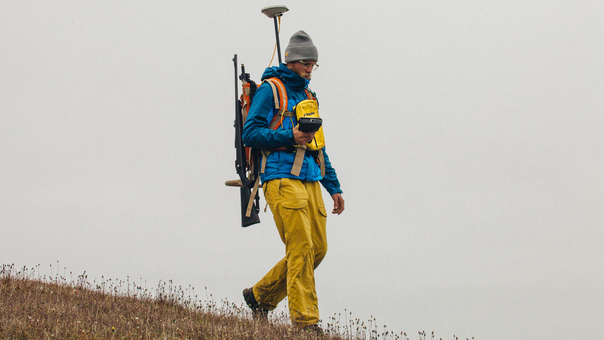
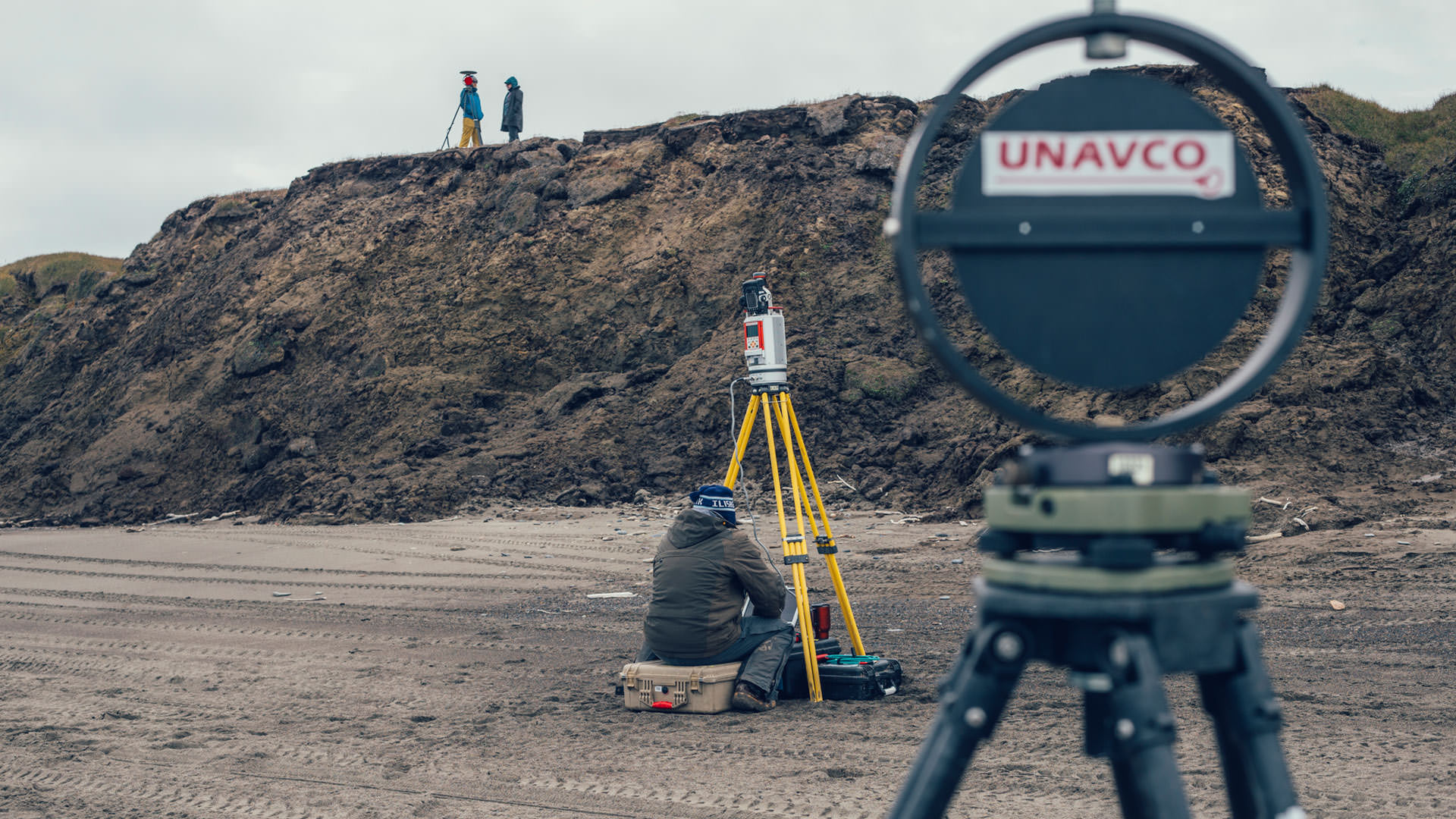
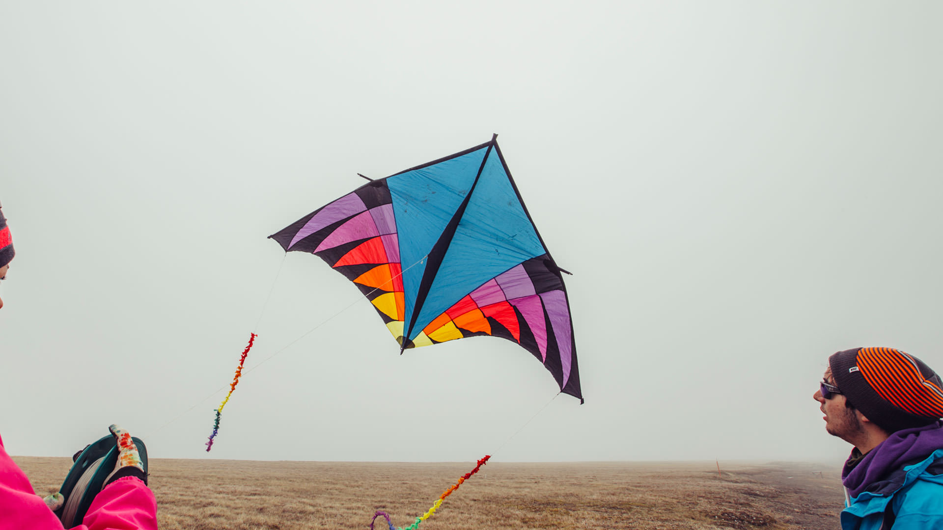
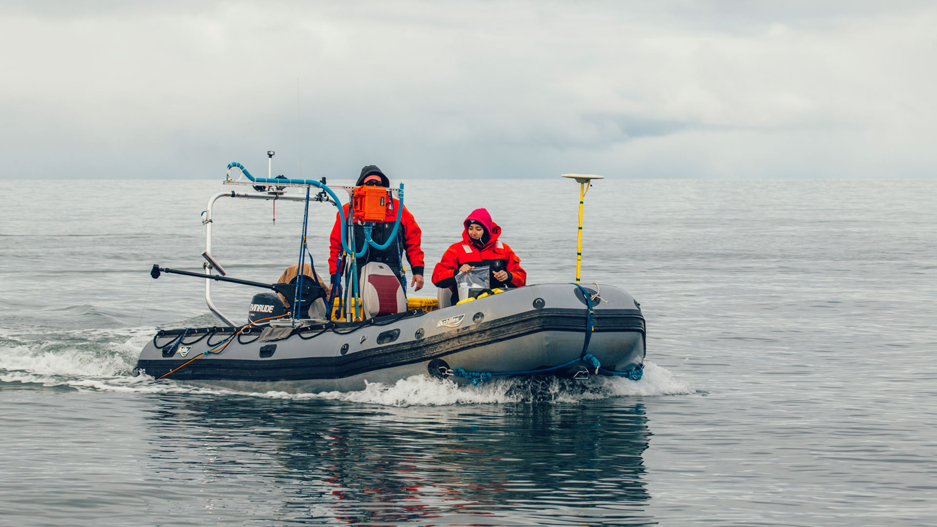
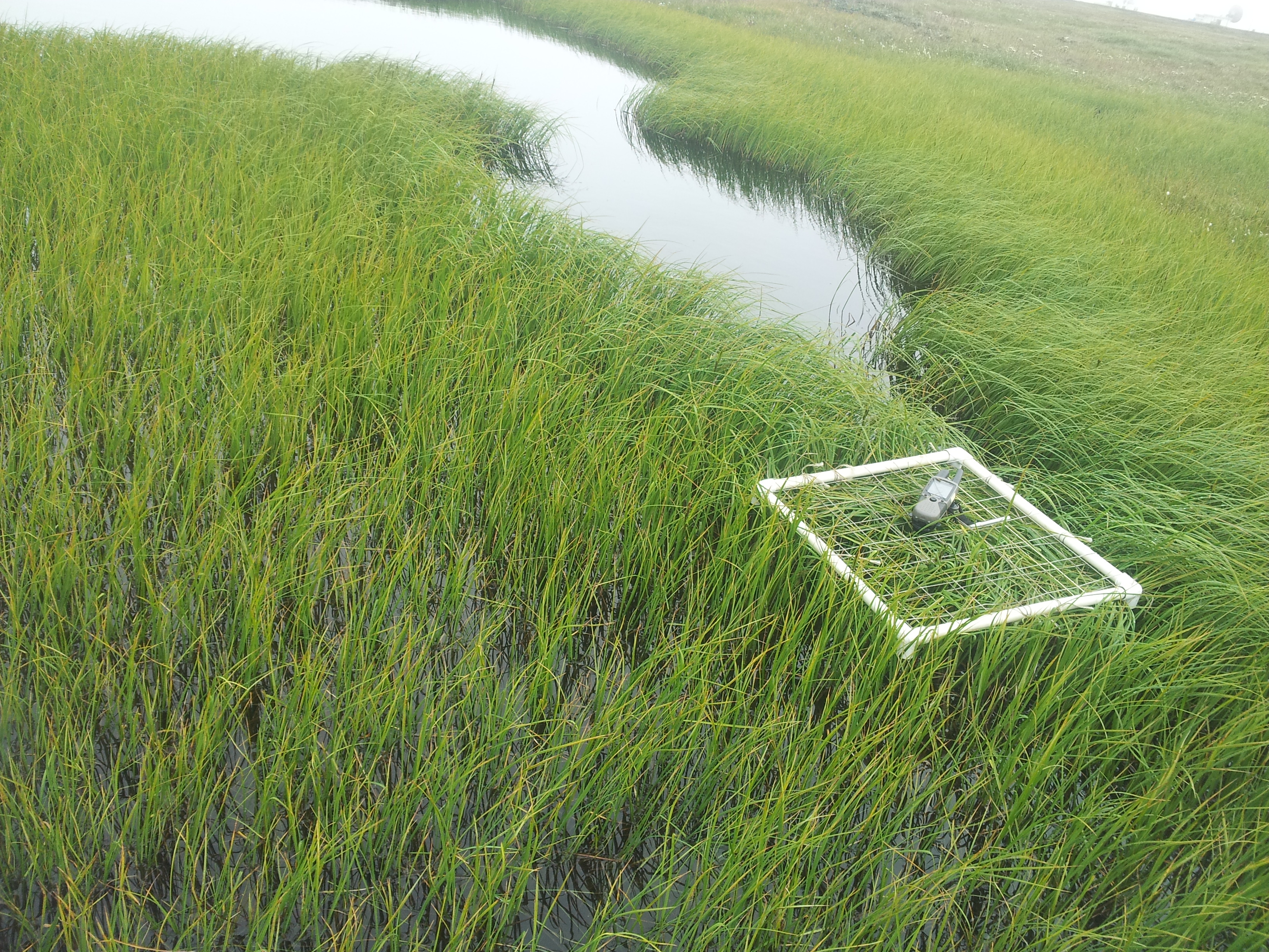
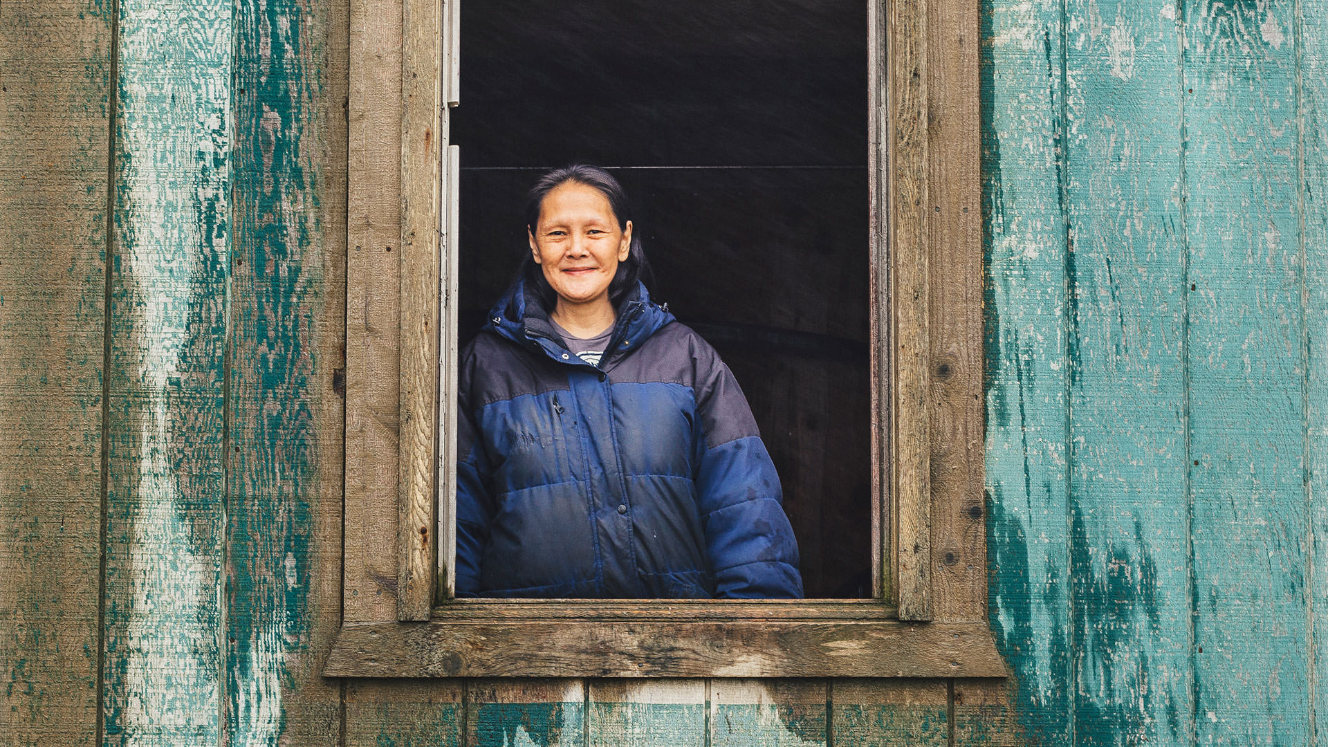
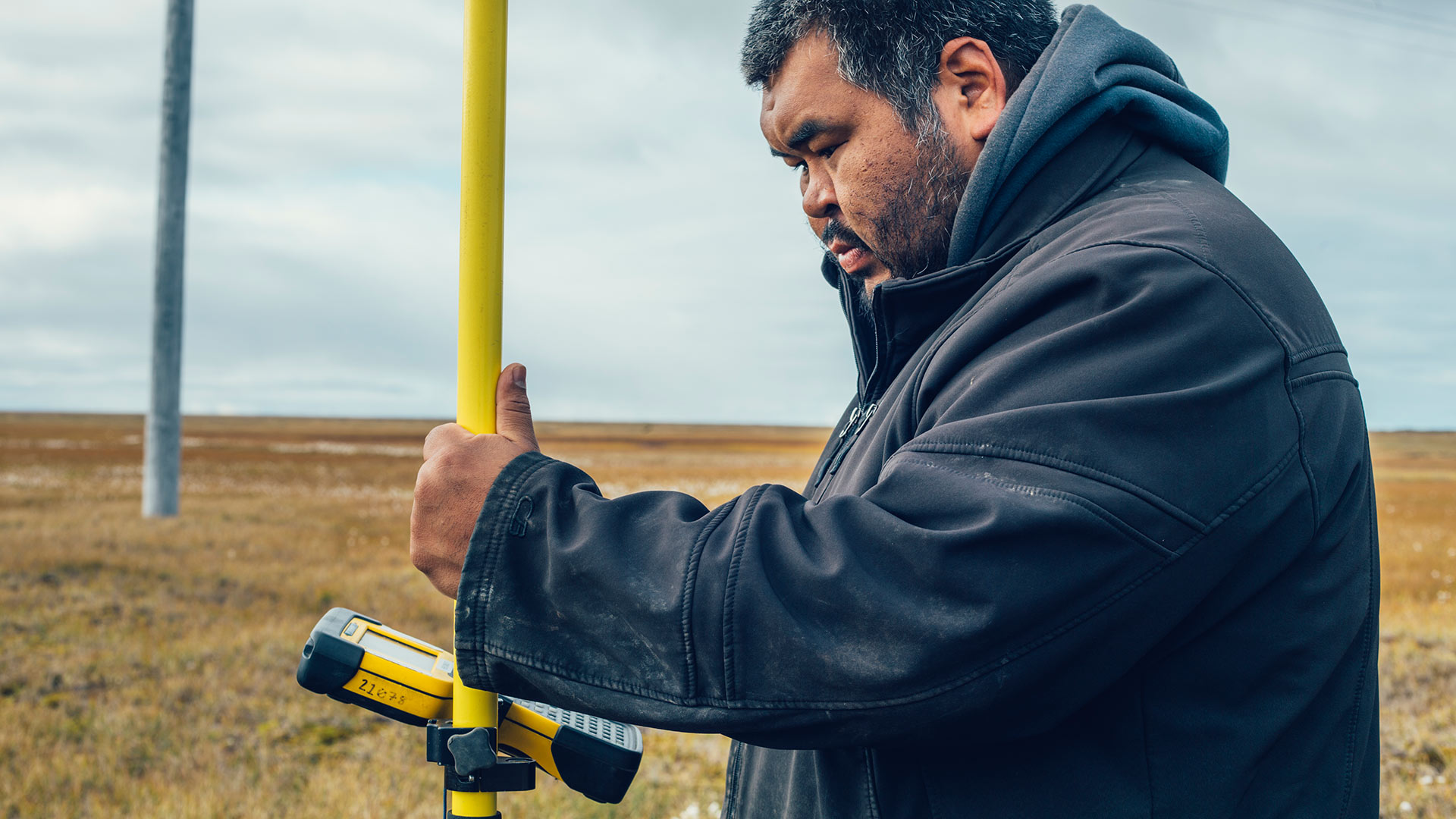
The BAID team has expert knowledge of science based in Barrow. We specialize in compiling and providing regional geographic information through the use of Geographic Information Systems (GIS), differential Global Positioning Systems (dGPS), remote sensing technologies and marine surveys. We employ cutting edge technologies such as terrestrial Lidar and kite aerial photography. We provide vegetation mapping and certified wetlands delineation. The team has long standing ties with the Iñupiaq community, collaborations with many local stakeholders and conducts outreach via small groups, as well as via larger public forums.