Imagery
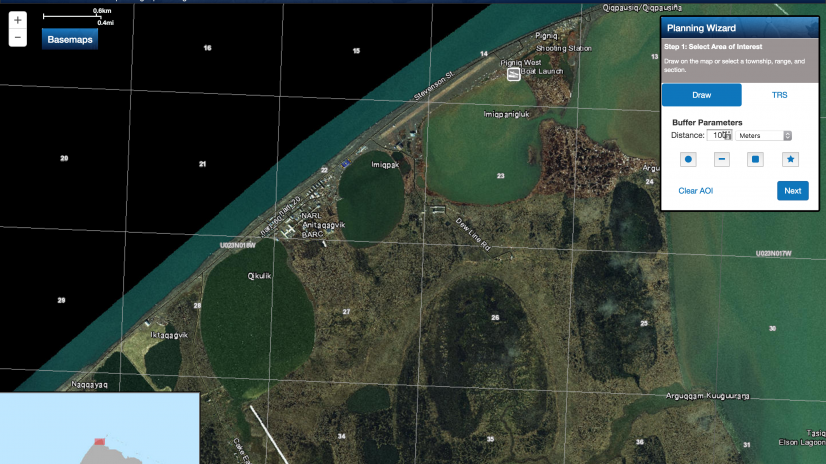
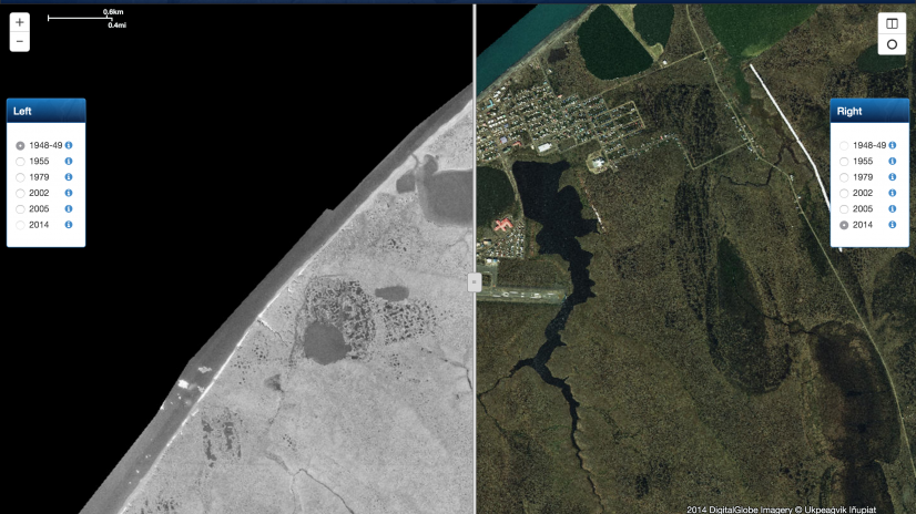
We specialize in acquiring, processing and analyzing historical aerial photography and satellite imagery. The BAID team has used this expertise…
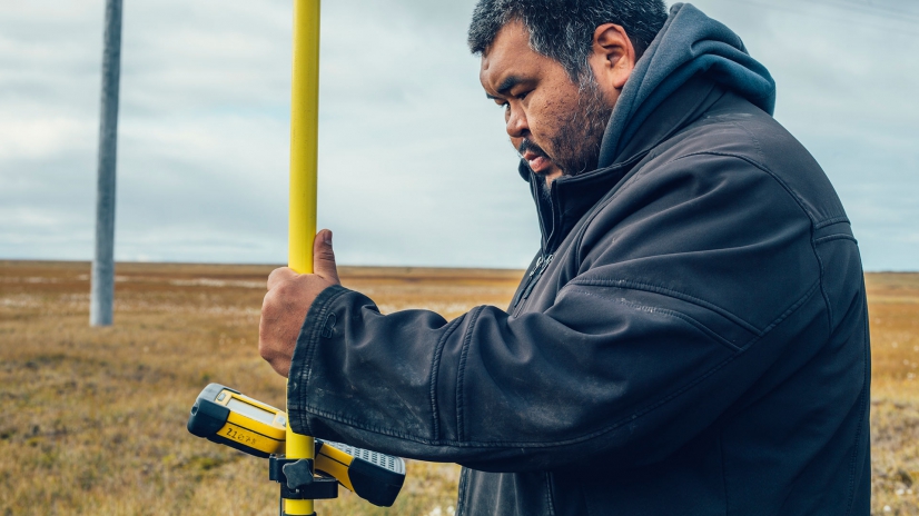
DGPS Support
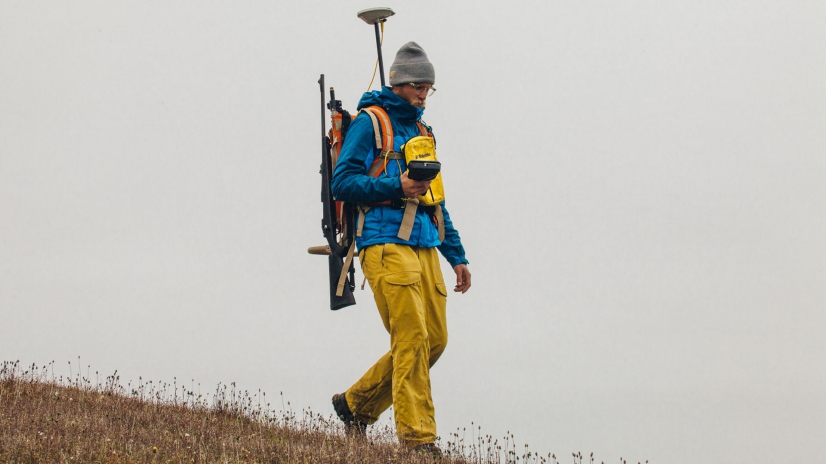
DGPS Support
Terrestrial Lidar
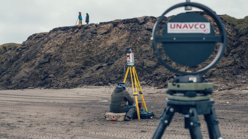
Terrestrial Lidar
Wetlands Delineation
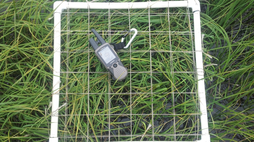
BAID has expertise to conduct certified wetlands delineations.
Outreach
Training and Capacity Building
We have developed science-based analytical tools that combined with local and traditional knowledge will broaden the capacities for more effective…
