Local expertise and capacity building TAKING CONTROL OF THE FUTURE Training the next generation of scientists MORE THAN 30 STUDENTS HELPED DEVELOP BAID READ MORE DGPS mapping of sampling sites PRESERVING THE RESEARCH LEGACY AT BARROW READ MORE Mapping coastal erosion OVER 10 - 80 MILES OF SURVEYS ANNUALLY READ MORE Broaden the impacts of your research - submit your sites to BAID MORE THAN 18,200 RESEARCH SITES READ MORE Location based instrumentation inventory View info for observation platforms and instruments READ MORE
applications-to-support-research-and-community-planning

Applications to Support Research and Community Planning

We have developed science-based analytical tools that combined with local and traditional knowledge will broaden the capacities for more effective decision-making, community planning and management.

Imagery Time Viewer

View historical imagery as a window to Barrow’s past

Launch

Coastal Erosion Viewer

Explore how the coast has changed over time

Launch

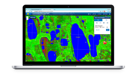
Community Planning Tool

A resource for planning & permitting
Report function no longer supported

Launch

Research Sites Viewer

Who, where and what of scientific research at Barrow

Optimized for slower Internet connections and mobile devices.

Provides more options to Search and Filter sites.


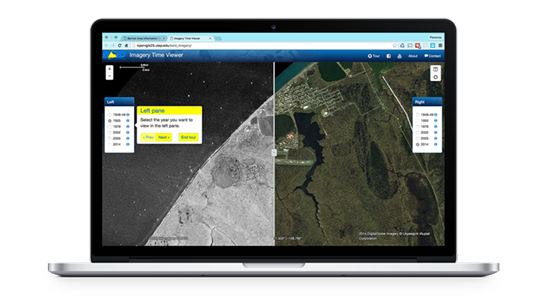
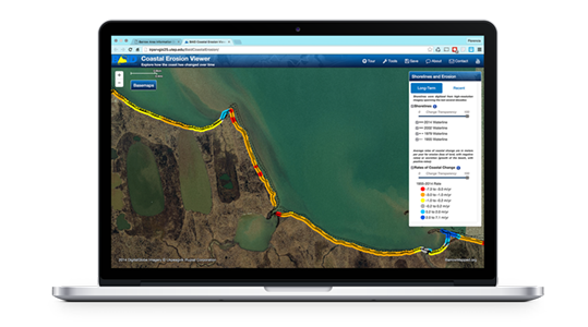
Deprecated applications

The development of these applications has been discontinued

bring-your-data-to-life

What is BAID?

The Barrow area on the North Slope of Alaska is one of the most intensely sampled locations in the Arctic with research sites dating back to the 1940s. The Barrow Area Information Database (BAID) is a resource for learning about the types of data collection activities in the region. The BAID team collaborates with scientists and the local community to compile and share this information via online web mapping applications. New additional modules to support community planning are under development.
Broaden the impacts of your research, submit your sites to BAID.

18200

+ Data collection sites (since 1947)

+100

+ DGPS surveys per year 

+1500

+ Instruments

3000

+ Vegetation plots

marine-traffic

marinetraffic_banner

Get in touch with us!