
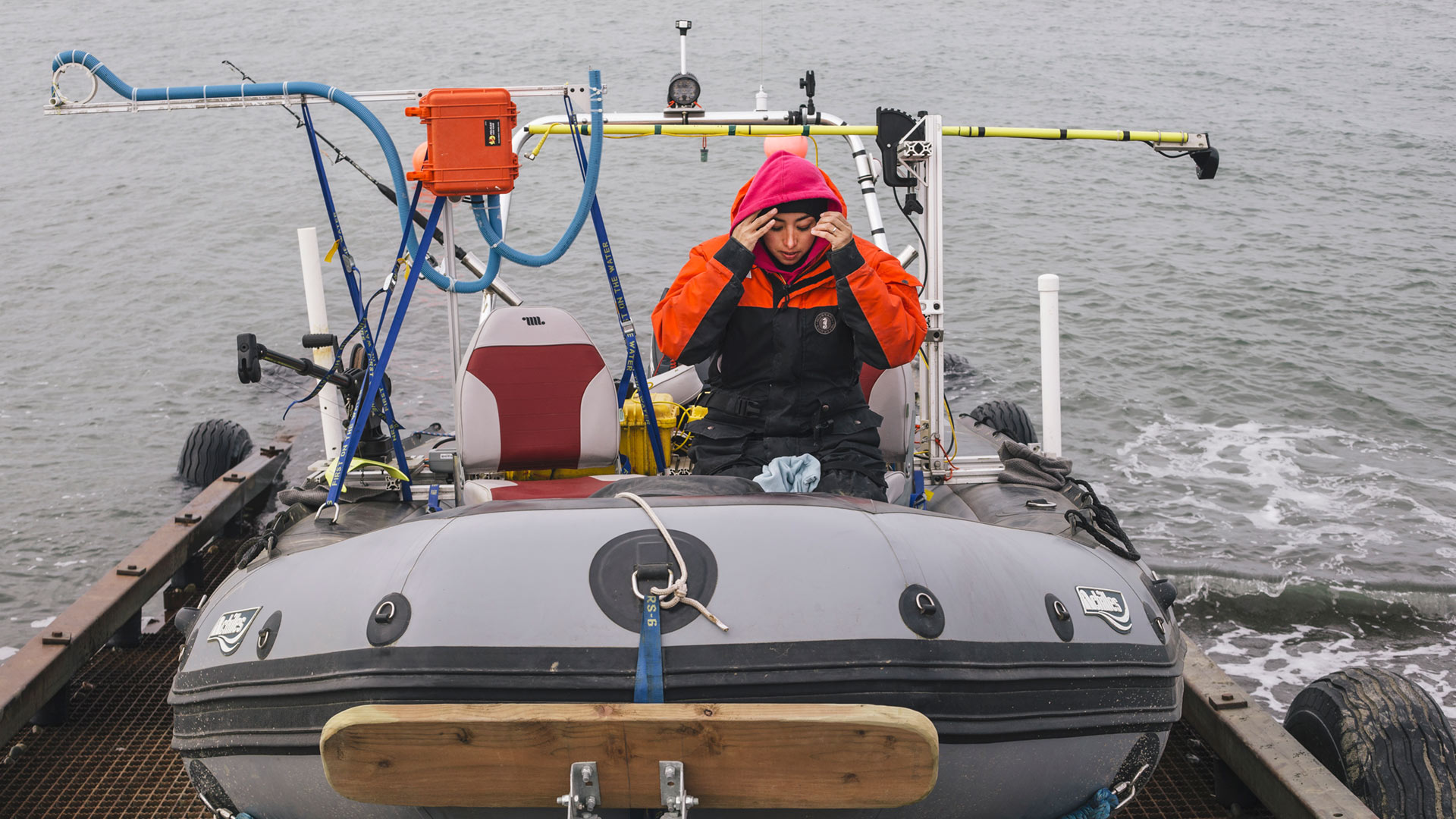
By utilizing sonar and dGPS equipment mounted to a small but sturdy Zodiac, the BAID team works to map the near-shore, submarine topography of both the Chukchi and Beaufort seas. With these efforts, researchers hope to better understand what role near-shore, underwater terrain may play in driving rates of coastal erosion and extending current land cover maps to include seafloor habitat