DGPS Support
UTEP’s Systems Ecology Lab can assist your research effort with DGPS mapping and post processing for surveys that require horizontal and vertical positions with centimeter accuracy.
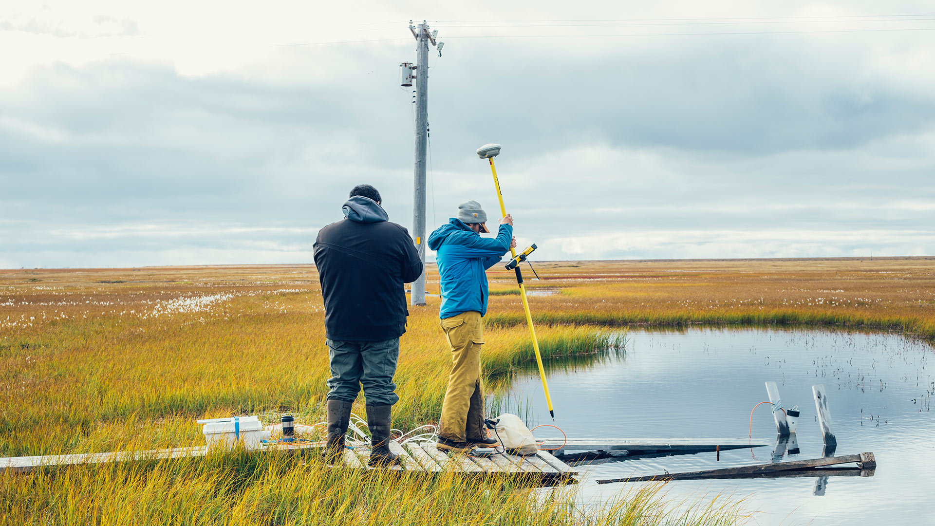
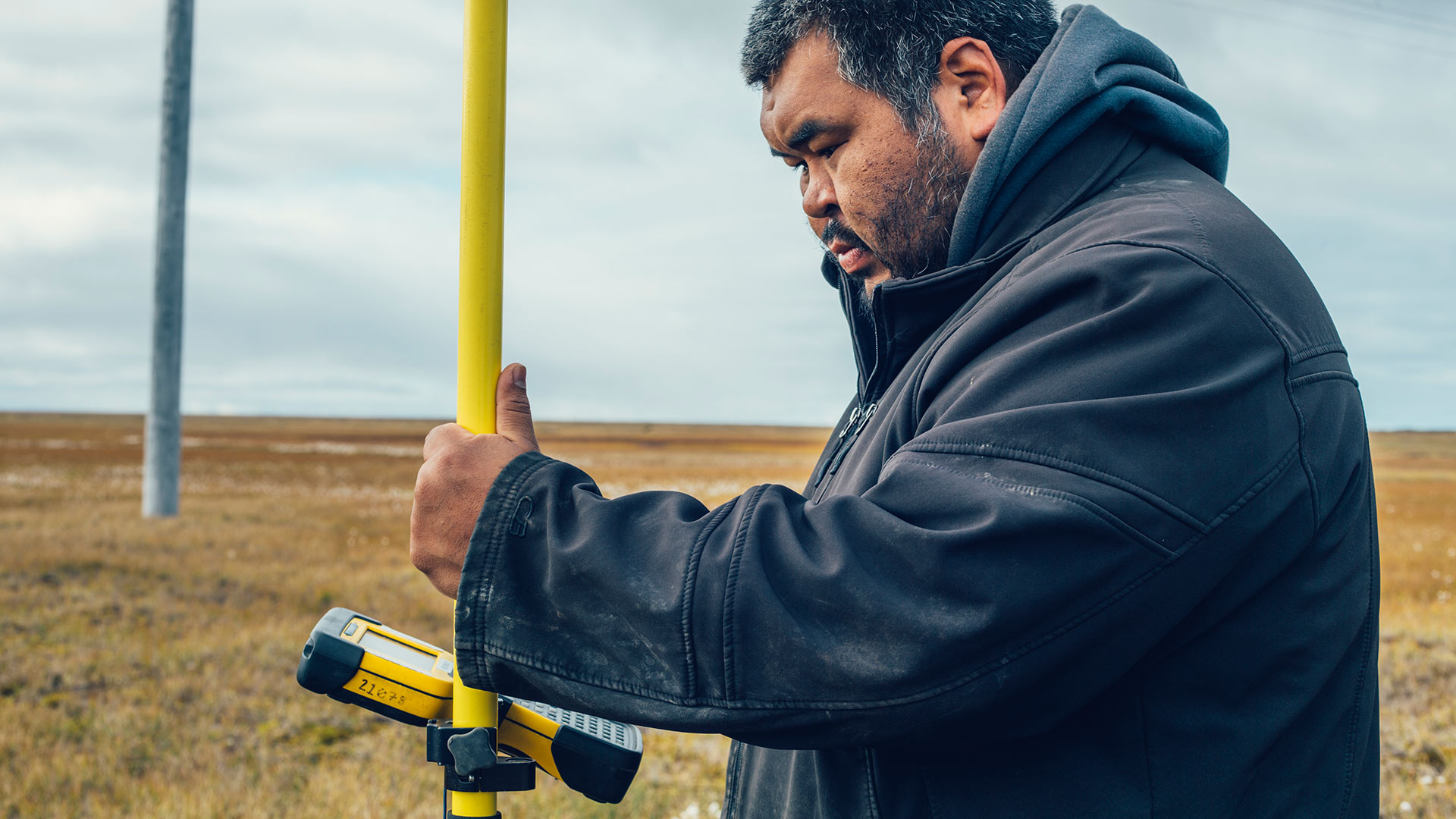
Differential Global Positioning Systems (dGPS) are used to collect geospatial data just like the GPS in a boat or car, but with accuracy to just a few centimeters. With these tools, BAID researchers can effectively monitor coastal processes and measure near-shore bathymetries.
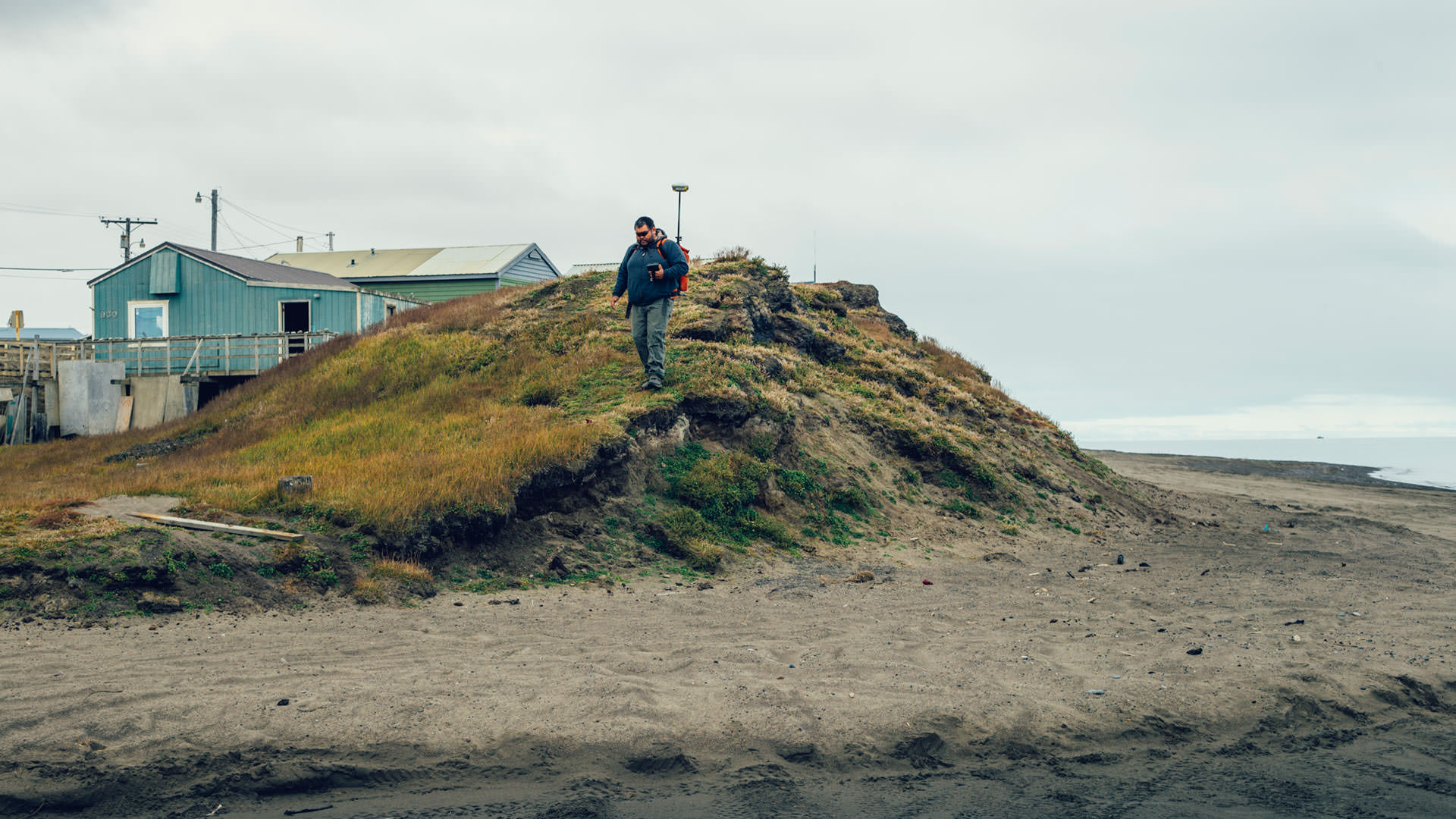
During the summer months, technicians measure bluff edge erosion on both the Chukchi and Beaufort Coasts and changes in coastal engineering features like berms by hiking along these coastlines with dGPS units on backpacks. Changes in waterlines are measured by driving an ATV with a specially outfitted dGPS antenna rig along the waters-edge.
During the summer months, technicians measure bluff edge erosion on both the Chukchi and Beaufort Coasts and changes in coastal engineering features like berms by hiking along these coastlines with dGPS units on backpacks. Changes in waterlines are measured by driving an ATV with a specially outfitted dGPS antenna rig along the waters-edge.